- English
- Polski
- Русский
- Українська
Languages:
This site is created using Wikimapia data. Wikimapia is an open-content collaborative map project contributed by volunteers around the world. It contains information about 32727063 places and counting.
Learn more about Wikimapia and cityguides.
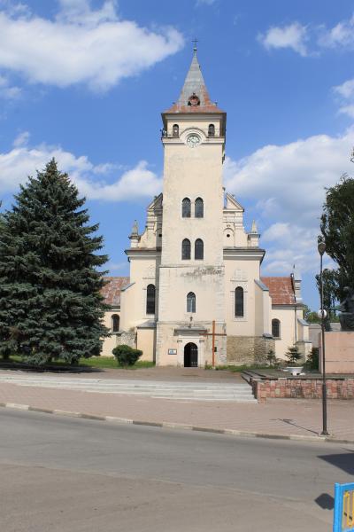
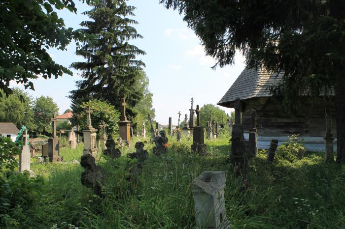
Rohatyn
A city of Ivano-Frankivsk Oblast and an administrative center of the Rohatyn Raion.
Wikipedia article: http://en.wikipedia.org/wiki/Rohatyn
Rohatyn on the map.